
Services
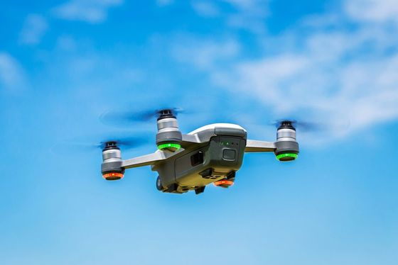
Kitchener Aerial Surveying serves a wide of industries with our world-class aerial drone surveying services. We offer high-quality drone surveying for various applications including the monitoring of various projects ranging from the agricultural industry, construction projects, transportation projects, and environmental monitoring. Our specialized drones provide valuable data that make proper monitoring and planning possible on these projects. We also take high-quality aerial photographs and videos for real estate inspections and various kinds of large events including sporting events and concerts.
Some of our services include:
- Construction Surveying and Inspections: Use of aerial photography to collect construction data safely and efficiently.
- Agriculture Inspections and Land Surveying: accurate aerial land survey and the provision of useful and actionable data for the effective monitoring and management of large scale agricultural projects
- Aerial Environmental Monitoring: aerial photography and videography to measure various environmental metrics and effective monitoring and data for environmental research projects
- Transportation Mapping and Services: survey and the production of accurate maps and data needed by engineers and transport departments for transportation projects.
- Real Estate photography/videography: high-quality aerial photographs and videos for real estate properties
- Event and Concert photography/videography: Aerial photography for all types of corporate and private events.
As a company, we are always looking forward to new projects and innovative ways to make an impact with our drone survey services in various industries. So even if you don’t see your specific needs listed here, you can get in touch with us to tell us about your project and we will work on a tailored solution for your needs.